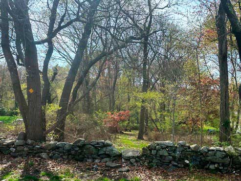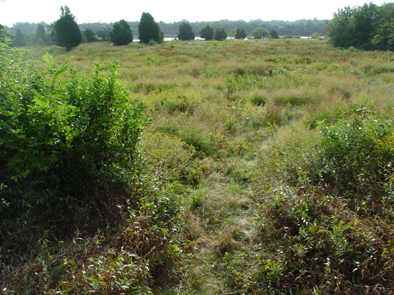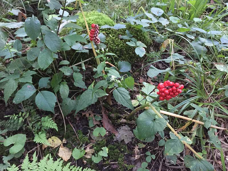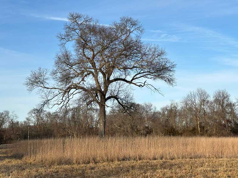
Take a hike through the fields and the forests at our Viall Preserve, which is located near the intersection of Gilbert Stuart Road and Boston Neck Road in North Kingstown. The property has been owned by NRLT since 1999. It consists of two primary parcels, the smaller 10-acre parcel found to the east of Gilbert Stuart Road, and the larger, 202-acre parcel located to the west. The larger parcel includes about twenty acres of fields, a dozen acres of wetlands, and about 170 acres of forests. The forests are populated by a variety of oaks, red maples, sassafras, black gum and yellow birch trees. The fields are primarily grasses, but have many wildflowers, including several types of milkweeds which are attractive to the monarch butterflies.
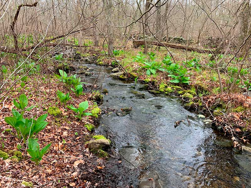
There is a well-maintained trail that is approximately two miles in length. Entering the property from the gate on Gilbert Stuart Rd, the trail runs due west past the field. At approximately the .75 mile mark the trail splits, forming a loop approximately 1.25 miles in length. The trail takes you past the wetlands, over some small streams, and around some interesting rock outcroppings.
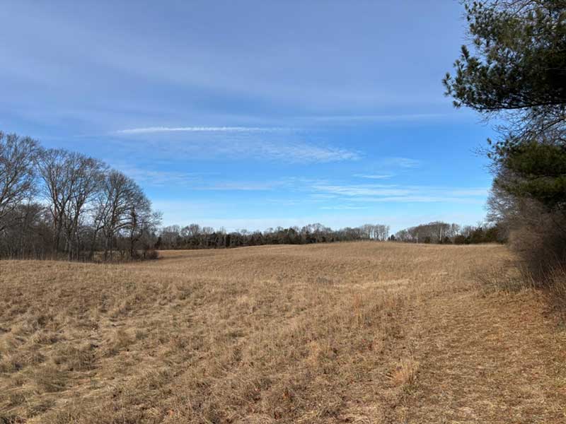
Recently established, a path follows the perimeter of the large field. This field was used for hay for many years, but the NRLT Board decided to allow the grasses and wildflowers to grow. The entire field will be mowed periodically to enhance its development as a wildlife habitat. Walk the path and enjoy the activity!
Wildlife viewing at Viall is superb. In addition to the abundant deer and turkeys, dozens of songbirds inhabit the property. The birds include the relatively uncommon black and white warblers and eastern towhees, a variety of sparrows and warblers, hawks, orioles, and woodpeckers. We enjoy using the free Merlin app to identify birds.
When you visit, park along Gilbert Stuart Road near the entrance near the metal farm gate.
Quick Facts:
- The trailhead is found on Gilbert Stuart Road, Saunderstown, RI 02874, just south of the intersection with Boston Neck Road, at the metal farm gate. The approximate address is (Lat x Long: 41.536134, -71.438699).
- There are approximately two miles of trails in the woodlands and a pleasant, mowed path around the circumference of the field.
- Hunting is allowed from September 15 to January 31st. Wear “blaze orange” during that period.
- Dogs should be on leash.
- NRLT maintains the Viall Preserve with the help of volunteers. Work may include trail maintenance, removal of invasive species, and planting trees.